Bai Thom (Bãi Thơm) is the north-east corner of Phu Quoc, between the forested slopes of Nui Chua — the island’s highest mountain, inside the national park — and a long coast that looks across the water to Cambodia. It was a commune of its own until July 2025, when the whole island became the Phu Quoc special zone. Compared with the south and west of the island it has hardly been developed: a fishing village strung along the coast road, a few family-run bungalows, seafood restaurants on the sand and very few other visitors.
It is about 30 minutes (29 km) by road from Duong Dong and 45 minutes from the airport (OSRM routing estimates). Most people come for a day on a scooter, often as part of a loop round the north of the island.
Bai Thom beach and Hon Mot
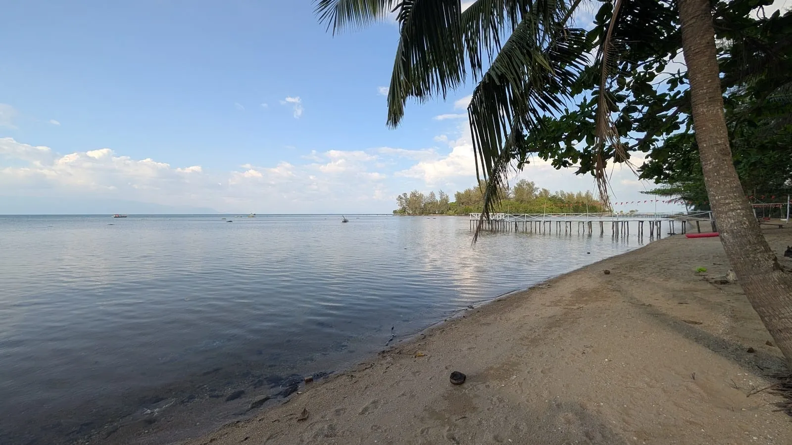
The main beach runs along Bai Thom village: yellow sand shaded by casuarina trees, shallow water and fishing boats at anchor. It is a local beach rather than a resort one. The sea is very shallow and tidal — at low tide it pulls back a long way over sand and seagrass — and on a clear day you can see across to the Cambodian coast around Kep. Wear sandals in the water: there are sea urchins and rough patches of coral and rock, and bring insect repellent in the rainy season.
Just offshore is Hon Mot, a tiny islet you can walk out to at low tide; see Hon Mot. The seafood restaurants facing it are a good stop for lunch.
 Hon Mot. Photo: nguyen quy Hoang, via Google Maps
Rach Tram
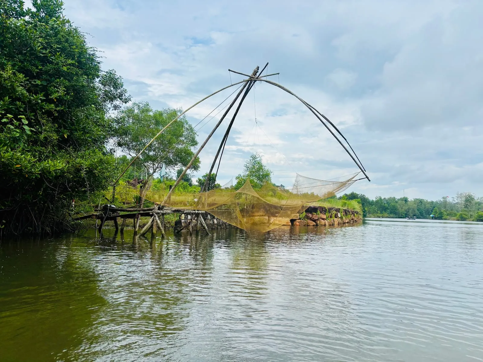
West of Bai Thom, on the north coast, Rach Tram is a fishing village at the mouth of the Rach Tram river, surrounded by forest and mangroves. For years it had the reputation of an untouched beach at the end of a rough road. Recent reviews are less kind: Google Maps reviewers from 2023 to 2026 describe rubbish on the shore and murky water by the village, houses built along the beach and, in 2026, development blocking the way down to it (3.6 from 102 reviews, October 2026). The river and the forest around it are still worth seeing, but do not make the long trip for the beach.
The mangroves and the forest
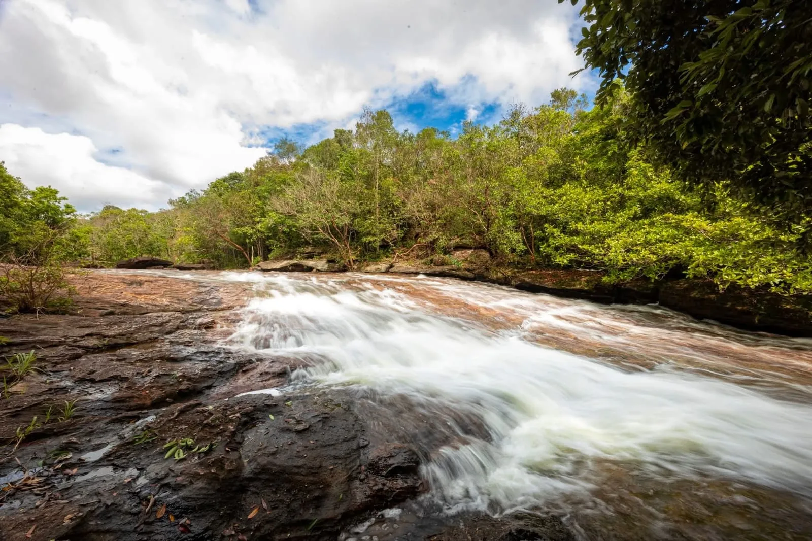
The densest mangroves on the island grow along the Rach Tram river system on the north coast, inside the national park. They shelter young fish and crabs and protect the shore from storms, and the melaleuca (tràm) woodland behind them is where the wild tràm mushrooms on the island’s rainy-season menus are picked (see what to eat). Inland, the forest climbs towards Nui Chua. Access to the park is restricted and you need a guide to go in; see Phu Quoc National Park.
Da Chong
On the east coast south of Bai Thom, Da Chong (Mũi Đá Chồng) is a small fishing port with a ferry pier. There is little to see — the crocodile farm older guides mention has long gone, according to visitors — and we could not confirm a regular passenger ferry from here in 2026; see ferries.
Where to eat
Seafood on the beach, simply cooked. Ratings from Google Maps, October 2026:
- Sun Bãi Thơm — 5.0 from 88 reviews. A beach café and seafood restaurant; reviewers recommend the grilled sea urchin, and you can hire kayaks.
- Biển Dừa Restaurant — 4.4 from 107. A family-run restaurant facing Hon Mot, known for grilled cobia; the owners sometimes invite guests to join them casting nets.
- Quán ăn Ngọc Điệp (4.9 from 21) and Quán ăn Thanh Nga Hòn 1 (4.9 from 23) — small local seafood places near Hon Mot.
Prices are generally lower than in the south of the island, but as anywhere, ask the price of seafood by weight before it is cooked.
Where to stay
Accommodation is simple and family-run:
- Bãi Thơm Retreat — 4.8 from 267 reviews. Sea-view bungalows with a private beach and a good seafood restaurant; remote, so come with a scooter.
- Thom Beach Bar — 4.5 from 374. Rustic huts on the beach (shared bathrooms) and rooms with their own bathroom in the garden, run by a local family who also arrange fishing trips.
- Luna Beach — 4.5 from 63.
There are no big resorts here; for those, see where to stay.
Getting there
From Duong Dong, take the main road north-east through the middle of the island to Bai Thom, about 30 km. Alternatively, follow the east coast road north from Ham Ninh past Cay Sao — slower, but with the sea alongside. Grab cars are scarce up here, so if you come by car, arrange the return trip in advance.
Ratings, review counts and visitor comments: Google Maps, October 2026. Drive times: OSRM routing estimates.
Map
Loads Google Maps when you tap. Or open in Google Maps.